-
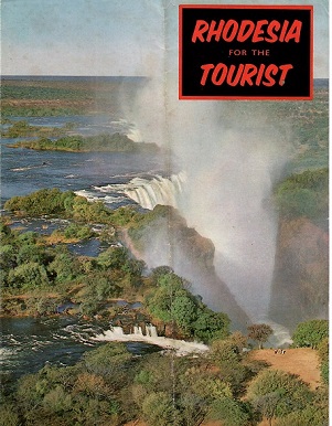
Rhodesia for the Tourist
Single-sheet, folded brochure (June, 1965) with basic, standard visitor information. Grade: 2
-
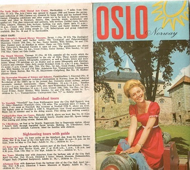
Oslo (Norway) – map and tourist information
Single-sheet, multi-fold brochure with standard tourist information and a map that requires young eyes and a lot of patience. From The Oslo Travel Association in cooperation with A/S Norske Shell in 1969. Grade: 1
-
NIGER Office du Tourisme – travel brochure
Single-sheet, multi-fold leaflet from the mid-1960s, in French, offering mostly cautions and warnings — as well it should have done. Grade: 1
-
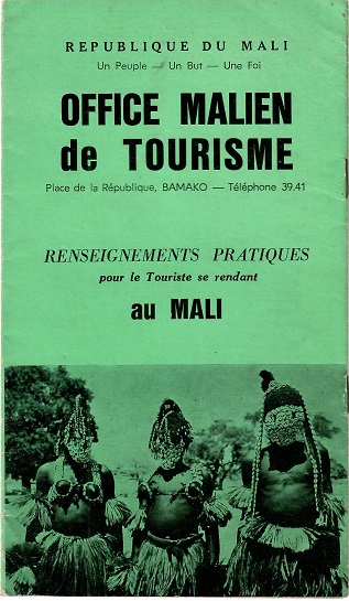
Office Malien de Tourisme – Renseignements Pratiques (Mali)
There were all manner of reasons in 1968 why Mali could not and would not be on the tourist map. Getting there, being there, and even getting out of there were a challenge. Despite that, and with almost no forewarning, it offered one of the grander and more exotic experiences of our life. This booklet, in French, explained a lot — then. Grade: 1
-
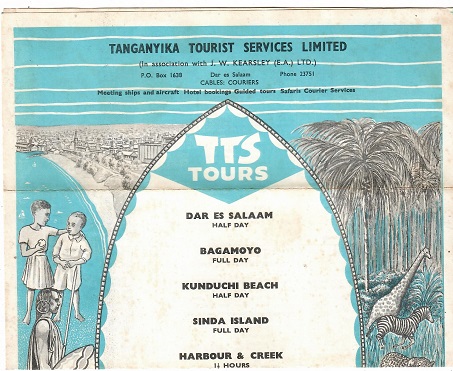
Tanganyika Tourist Services – tour listings
The reverse of this single-sheet folded brochure from 1967 lists details and prices for many tours. Grade: 1
-
Tanganyika for an African Holiday (now Tanzania) – brochure
Tanganyika changed its name to Tanzania in 1964 as the result of a merger with Zanzibar, so this single-sheet, multi-fold travel brochure was published sometime between 1962 and then. Considering all the country had to offer, regardless of name, it’s surprising that the map on the back doesn’t even mention Mt. Kilimanjaro. Grade: 2
-
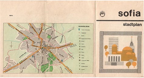
Sofia – Stadtplan (Bulgaria) – map
Marked up a bit for a visitor’s use, basic and hard to read but better than nothing. Issued by Balkantourist and distributed in 1969. Grade: 3
-
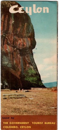
Ceylon (now Sri Lanka) – brochure
Another travel folder from another country that has since changed its name. This document focuses on Sigiriya, for which we urge you to Google to learn more. Grade: 1
-
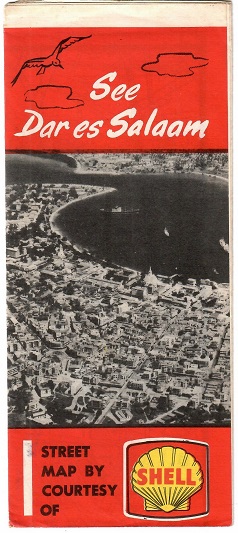
See Dar es Salaam (Tanzania) – map
A street map distributed in 1967 by courtesy of Shell Oil, it actually was useful and had many tips for the visitor alongside. Grade: 1
-
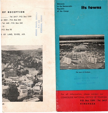
Welcome to the Democratic Republic of the Congo – Its towns
From the Congolese National Office of Tourism in 1968, with Kinshasa euphemistically called a “town” (along with others), this has a Menno travel agency’s rubber stamp on the reverse. Tourism in either Congo poses significant challenges now. Grade 2
-
East African Coast – brochure
East African Airways published this single-sheet, multi-fold in the mid-1960s. It’s just a dated, cursory introduction to coastal attractions in Kenya and Tanzania. Grade: 1
-
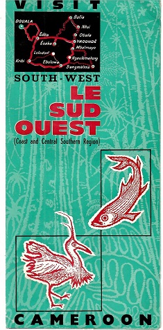
Visit South-West Cameroon – brochure
A single-sheet, folded pamphlet from Office National Camerounais du Tourisme, in English and from 1966, highlighting attractions along the Coast and Central Southern Region. Grade: 1
-
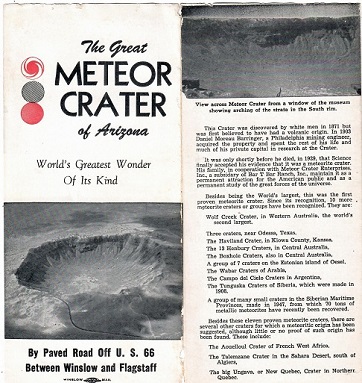
The Great Meteor Crater (Arizona, USA) – brochure
From the early 1960s (the brochure, not the meteor), and billed here as the “World’s Greatest Wonder Of Its Kind”, an artifact of tourism in Arizona many years ago. Grade: 2
-
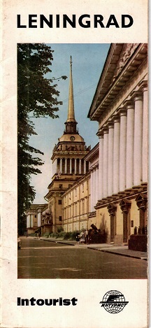
Intourist – Leningrad (USSR)
Undated, but from roughly 1968, this extensive booklet from Intourist in the tiniest font imaginable, introducing history and facilities in what was then Leningrad, as only Intourist could. They saw no irony in writing about a great Russian satirist. Grade: 1
-
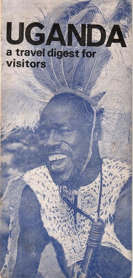
Uganda – a travel digest for visitors
This 21-page booklet came to us in 1967 and went out of date as soon as it was printed, as evidenced by some corrections (made at source) in the text. It stands out in view of the turmoil that was just beginning in the country, and which was to render it unvisitable for quite awhile thereafter. Grade: 1
-
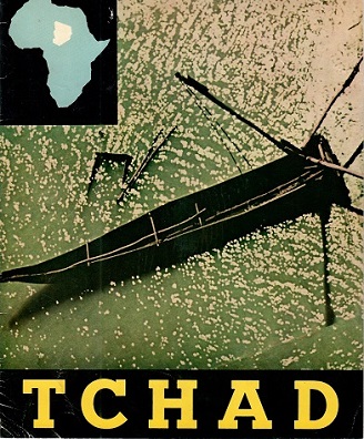
Tchad (Chad) – tourism brochure
From 1968, a thin but glossy booklet with minimal text in several languages (including, briefly, English) following the old axiom that a picture speaks a thousand words. Just as well, because Chad has never been a prime target for tourism. Grade: 1
-
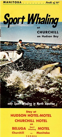
Sport Whaling at Churchill on Hudson Bay (Manitoba, Canada) – brochure
We’re sorry but “Sport Whaling” might have been the “in” thing in 1970 when Manitoba’s Department of Indian Affairs produced this, but not now. They don’t just go after Beluga whales, they throw in Harbour seals and Ring seals for good measure. And fish. And geese. But hey! “Groceries available in Churchill”. The brochure is here for you, costing not much more than the hunting license did for those whales. Grade: 1
-
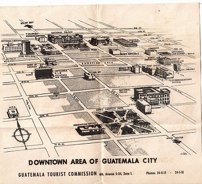
Downtown Area of Guatemala City – map
The most basic of maps, showing central Guatemala City as it was in 1967 when we visited. Grade 1
-
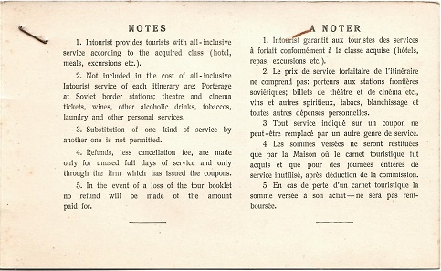
Intourist – Voucher folder for hotel service (USSR)
In 1969, if you were a tourist in the USSR, you were probably under the firm control of Intourist, the government agency to manage such things. They gave you folders, with vouchers. Go here, hand over a voucher. Go there, hand over another voucher. This is the (blue) cover for the book of hotel vouchers. Those are of course gone now, but the cover and its notes remains. Grade 1
-
Intourist – Restaurant voucher cover (USSR)
See our entry 50000404. This is similar, but for restaurant service. It’s only the cover; the vouchers have been used. At the time, we were struck by how many choices appeared on restaurant menus but how few were actually available. Grade: 1
-
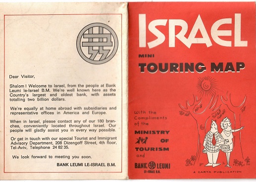
Israel Mini Touring Map
Bank Leumi, which issued this small folder in 1970, had the grace to call it “mini” but it covers a lot of territory — especially since Israel, as we know, has had somewhat fluid borders since it was established. It also has other bits of key information for the traveler. Grade: 1
-
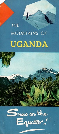
The Mountains of Uganda – brochure
Brochure published by the Ministry of Information, Broadcasting and Tourism in the 1960s, basically an introduction to Uganda’s many natural attractions. Grade: 2
-
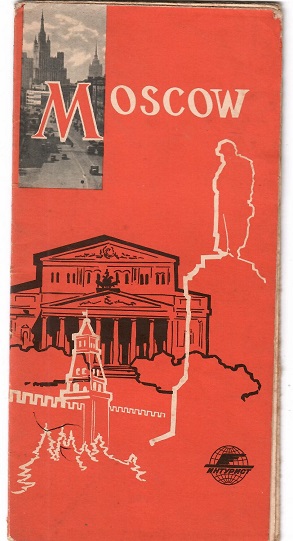
Moscow, Intourist map
From the early 1960s, this map would (sort of) point you in the right direction but your Intourist minders would have put you back on the right path had you strayed too far off it. Aging but so interesting to read. Grade: 3
-
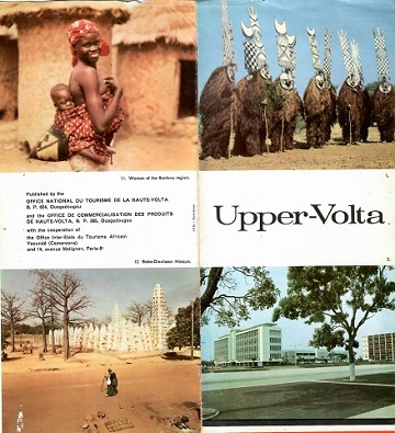
Upper-Volta (now Burkina Faso) – brochure
A slight folder from 1968, correctly stating that “The equipment of these various tourist regions is in constant progress”. One would have needed to be most intrepid (and speak excellent French) to stay for long. Grade: 1
-
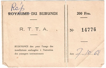
Airport Tax receipt (Burundi)
From October 1968, a 200-Franc receipt for airport tax. They were sensitive about the country’s change of name. But practical about using old supplies. Grade: 1
-
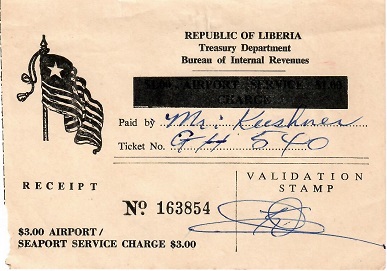
Airport/Seaport Service Charge (Liberia)
This receipt would have been from Monrovia Airport in 1975. Grade: 1
-
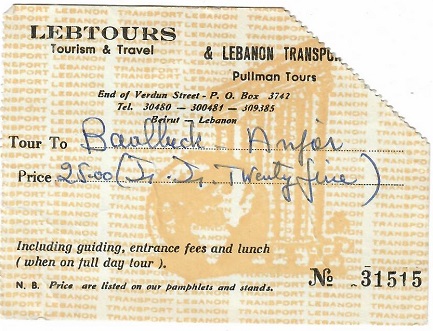
Lebtours (Lebanon) – tour receipt
Exactly what you got back after you boarded the bus for a day trip outside of Beirut in the 1970s. Lebtours, the company, lives on! Grade: 1
-
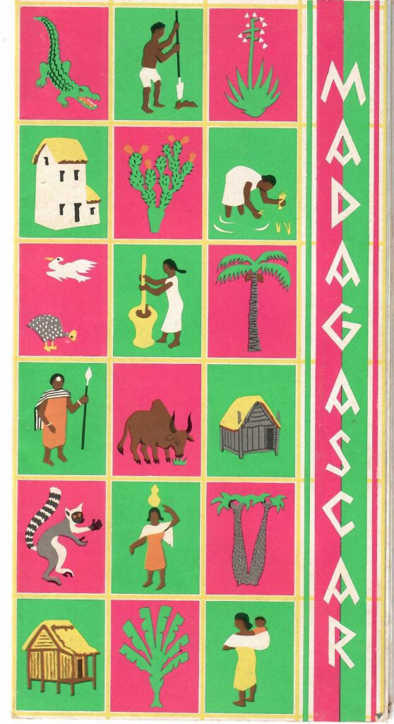
Madagascar – travel brochure
One quite large single-sheet, multi-fold brochure, undated but probably 1960s, in French. Grade: 1
-
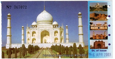
Taj Mahal (Agra, India)
A used (punched and dated) 2003 ticket to enter the grounds. Not just for the Taj, either: it was also good for Agra Fort, Itimadu’d-Daula, Sikandra, and Fatehpur Sikri. But they all had to be seen on the same day. Grade: 1

